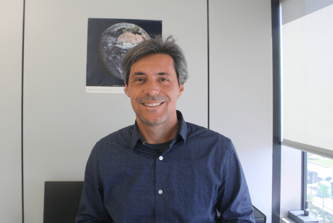
Fernando's Bio
Fernando Camacho received a PhD and the European Doctorate mention in 2004 with a thesis on operational retrieval of vegetation variables from remote sensing BRDF data from the University of Valencia. He is involved in operational services since 1999 in the LSA SAF service and Copernicus Land Monitoring and Climate Change Services. His main reserach areas are BRF and BRDF, retrieval of bio-geophysical variables of vegetation from satellite optical data and validation and quality control of remote sensing products, and Cal/Val campaigns. He has been involved in many cal/val campaigns for ESA since 2000s (recently in the ESA fiducial reference measurement programme). He has co-authored 50+ peer-reviewed publications in high impact journals, 100+ conference papers, and contributed to 6 CEOS validation protocols and 6 book chapters.
He is part of scientific comittees of international conferences and workshops. Chair of the Land Product Validation subgroup of the CEOS Working Group on Calibration and Validation from 2019 to 2022. https://orcid.org/0000-0001-8679-1912″
EOLAB Foundation
IIn 2006 Fernando founded the EOLAB company and since then he is working as CEO, but he is also acting as Project Manager providing to the technical people guidance with his scientific background on remote sensing.

