
AmazonLAI field campaign
The leaf area index (LAI) and the fraction of absorbed photosynthetically active radiation (FAPAR) by vegetation canopies are recognized by Global Climate Observing System (GCOS) as two essential climate variables over land, meaning that their distribution at global scale impacts directly on Earth’s climate. LAI and FAPAR products are routinely made available from satellite observations at global scale. The Amazon rainforest, the largest tropical forest in the world, has been called the “lungs of the planet” for good reason. Home to over 10% of the world’s known biodiversity, this intricate forest ecosystem plays a vital role in stabilizing the global climate. Therefore, accurate retrievals of LAI and FAPAR of the Amazon rainforest is essential to understand climate and ecosystem responses to climate change.
On September of 2024, EOLAB has conducted a field campaign (AmazonLAI) for collecting fiducial reference measurements of LAI and FAPAR over the Amazon rainforest in the Ecological Reserve of Chontachaka (Peru) (Figure 1). Digital Hemispherical Photos (Figure 2) were collected over 37 elementary sampling units of rainforest (Figure 3). The dataset is currently being processed and will be used to produce ground-based maps of LAI and FAPAR over the Chontachaka site to validate Earth Observation products provided by the different space agencies and space service providers over this particular ecosystem.
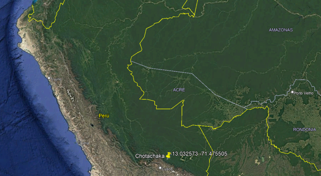
Figure 1- Location of the Chontachaka Ecological Reserve (Peru).
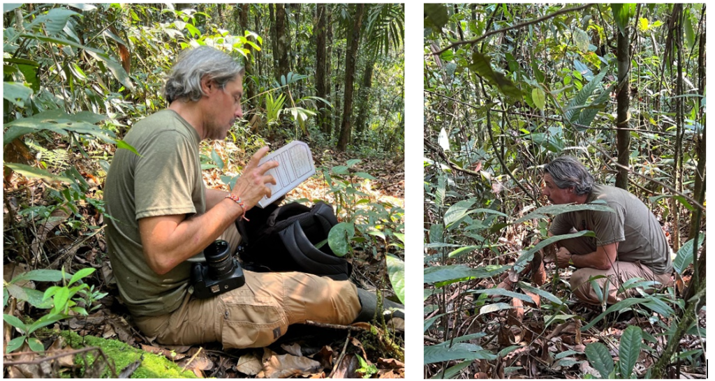
Figure 2. Fernando Camacho collecting DHP photos during the AmazonLAI campaign.
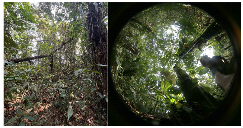
Figure 3. Standard photo (left side) and digital hemispherical photo (right side) collected during the AmazonLAI campaign.